Willy-Brandt-Ring 21
67547 Worms
Germany
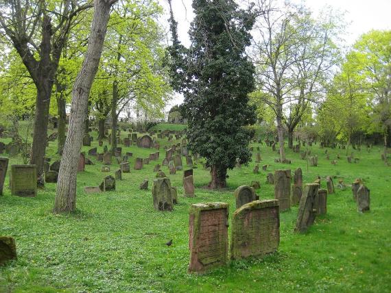
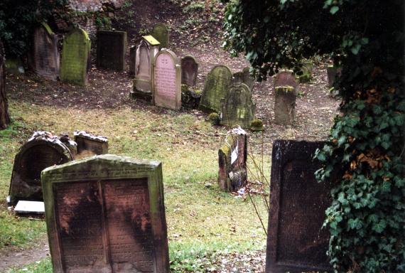
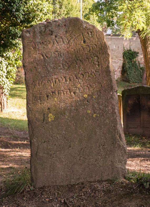
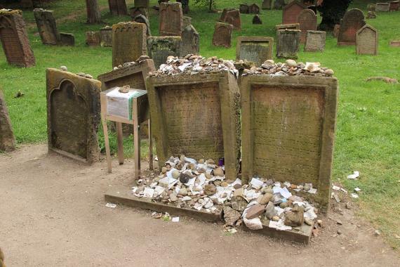
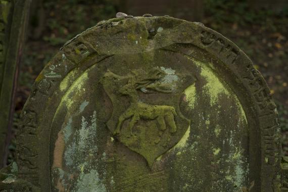
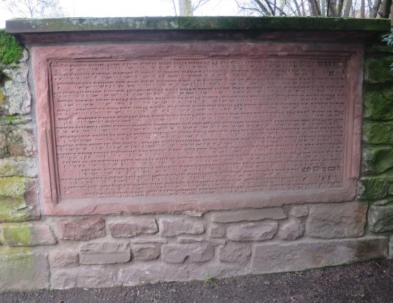
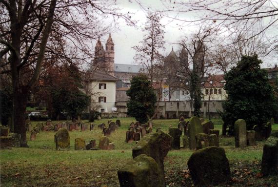
<p>The cemetery Heiliger Sand is the oldest Jewish cemetery preserved in situ in Europe. The oldest gravestones date back to the 11th century. The cemetery survived medieval expulsions and pogroms as well as the Shoah - not always entirely unscathed, but without extensive damage and clearances, so that around 2,500 stones bear witness to the history of the community.</p><p>The cemetery consists of an Old and a New part, which was occupied from the end of the 17th century. In contrast to the plainly held gravestones of the Old Part, one finds strongly decorated stones on the New Part, which are often designed like columns, tree trunks or obelisks. Also, they no longer bear only Hebrew inscriptions - over time one finds bilingual inscriptions, and from the end of the 19th century often only German inscriptions. This testifies to the assimilation of the Jews and their strong roots in Germany.</p><p>The gravestones are not, as is usually the case in Jewish cemeteries, oriented to the east (Jerusalem). A definitive explanation for this has not yet been found. One legend says that this did not happen because the Worms community called itself "Jerusalem on the Rhine". Another explanation could lie with the founding fathers of the community: these probably came from Italy and therefore the tombs point south.</p><p>Outstanding among the graves are those of Rabbi Meir of Rothenburg, called MaHaRam, (d. 1293) and Alexander ben Salomon Wimpfen (d. 1307), which are still visited by many worshippers today. The tomb of MaHaRil, Rabbi Jacob ben Moses haLevi (d. 1427) is also located on the Heiliger Sand.</p><p>The Heiiger Sand is part of the serial application of the SchUM sites of Speyer, Worms and Mainz as UNESCO World Heritage Sites in 2020/21.</p>
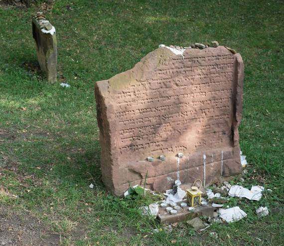
")
Add new comment