Hermannswerder 20c
Brandenburg
14473 Potsdam
Germany
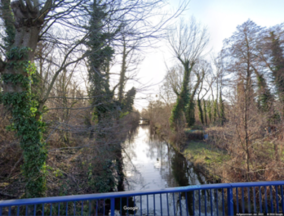
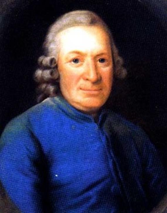
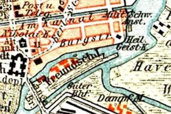
The Judengraben is a very important project built by King Frederick II at the end of the 18th century. The ditch was intended to transport felled tree trunks from the Potsdam and Templin forests towards the city canal. It was built so that the logs would not have to be transported by water past the island of Hermannswerder. So this ditch has nothing to do with the Nazi era, it takes its name from the „court Jew“ Daniel Itzig. Itzig was born on March 18, 1723 and died on May 21, 1799. He was active at the royal court as a merchant and received a great deal of recognition as a result. King Friedrich ll. appointed him Supreme Representative of the Jews in Prussia and Frederick's successor made him a "Court Jew". He lived in Potsdam and in 1965 bought a house in Burgstrasse (see pictures) and had it converted into his so-called Itzig’sche Palais by adding side wings. Not many years later, it was demolished and his great-grandson had a new building erected on the site in the form of an office building. He was very committed to Jewish life in Prussia and founded the enlightened Jewish Free School in 1778, which was primarily intended for poor Jewish children in Berlin. In 1791, he was the first Jew to receive the privilege of legal equality with the Christian subjects of Prussia. He was a great fan of the European Enlightenment and had his 15 children taught this subject by famous personalities such as Moses Mendelssohn and Wilhelm Friedemann Bach. But how did the name Judengraben come about? Friedrich Wilhelm ll. Gave the „Englische Lohrgeberei“, which is located right next to the moat, at the end of the 18th century, which is why it was christened Judengraben.


-Thekla Keuck: Hofjuden und Kulturbürger. Die Geschichte der Familie Itzig in Berlin (= Jüdische Religion, Geschichte und Kultur. Band 12). Vandenhoeck & Ruprecht, Göttingen 2011.
-https://www.potsdam.de/de/content/judengraben-templiner-vorstadt
-https://de.wikipedia.org/wiki/Daniel_Itzig
Add new comment