Complete profile
90
Kategorie
The history of the city of Dillingen/Saar begins with the Gallo-Roman settlement Contiomagus, which existed at the crossroads of the long-distance roads Metz-Mainz and Trier-Strasbourg, in today's district of Pachten. In 275/276 Contiomagus was destroyed and rebuilt in the course of the migration of the peoples. 1324 the first documentary mention of Diefflen and 1357 the first mention of the Old Castle. Between 1618 and 1648 there was devastation during the Thirty Years' War. In 1685, Dillingen received permission from Louis XIV to establish ironworks at the gates of Saarlouis. In 1815, the region became Prussian. In 1949 Dillingen received the city rights. In 1990, a 2000-year celebration was held in Dillingen or Pachten.
Medien
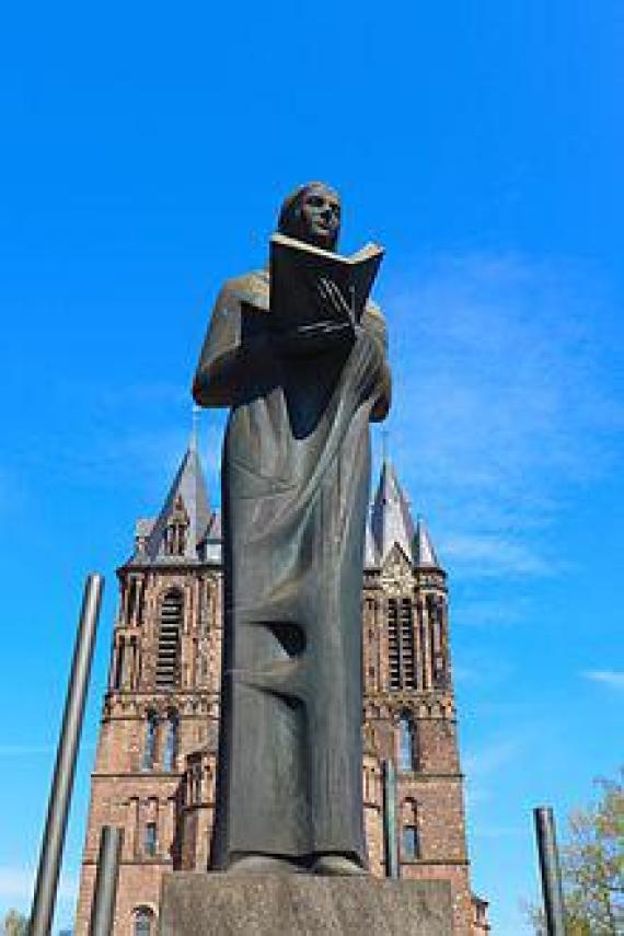
Odilienstatue vor dem Saardom, errichtet zur Erinnerung an das Kirchenpatronat des Frauenkloster auf dem Odilienberg im Elsass
admin
Breite
220
Höhe
330
Mimetype
image/jpeg
Lage Dillingens auf einem Ausschnitt aus der Lothringen-Karte (nördlicher Teil) des Gerhard Mercator von 1564-1585 (Landesarchiv Saarbrücken, Sammlung Hellwig)
admin
Breite
220
Höhe
163
Mimetype
image/jpeg
Dillinger Takenplatte mit dem Wappen des Marquis de Lénoncourt, 1706, 106 cm x 93 cm, 92,8 kg[29]
![Dillinger Takenplatte mit dem Wappen des Marquis de Lénoncourt, 1706, 106 cm x 93 cm, 92,8 kg[29] Dillingen Taken plate with the coat of arms of the Marquis de Lénoncourt, 1706, 106 cm x 93 cm, 92.8 kg[29]](/sites/default/files/styles/jp_gallery_style/public/220px-Lenoncourt_Takenplatte.jpg?itok=OU06X2Eu)
admin
Breite
220
Höhe
172
Mimetype
image/jpeg
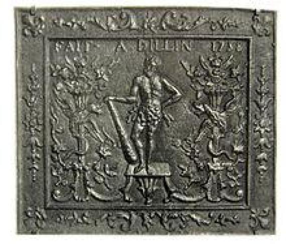
Dillinger Takenplatte von 1758, Herkules-Motiv mit Blütenfüllhörnern und Greifen, produziert unter Charles Francois de Tailfumyr, Seigneur de Cussigny
admin
Breite
220
Höhe
187
Mimetype
image/jpeg
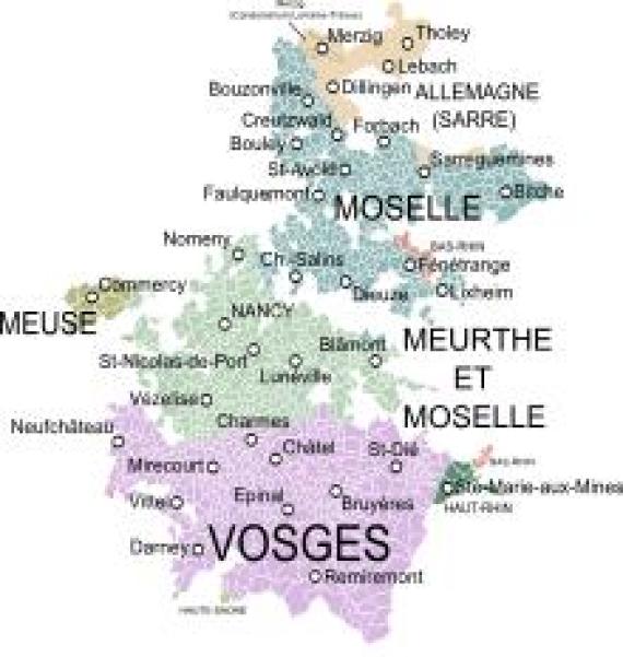
Lage Dillingens im Herzogtum Lothringen um 1756
admin
Breite
220
Höhe
232
Mimetype
image/png
Katharina Kest

admin
Breite
170
Höhe
201
Mimetype
image/jpeg
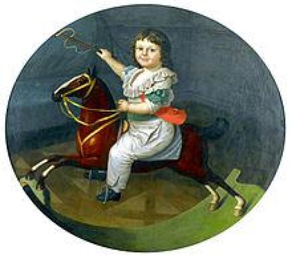
Adolph, Herzog von Dillingen, Gemälde von Johann Friedrich Dryander
admin
Breite
220
Höhe
195
Mimetype
image/jpeg
Franz Xaver Leidinger (1810–1890): Konferenz von Pastor Philipp Schmitt (3. v. l.) mit Amtskollegen aus dem Saartal (1843, 84 cm x 63 cm, Pfarrhaus Beckingen)
admin
Breite
220
Höhe
171
Mimetype
image/jpeg
vergrößern und Informationen zum Bild anzeigenDillinger Hütte mit Altem Schloss und sogenanntem Neuem Schloss, beiden Krankenhäusern (ganz links) und Prims um das Jahr 1900 (Kunstanstalt Ecker & Pflug, Leipzig).

admin
Breite
1500
Höhe
408
Mimetype
image/jpeg
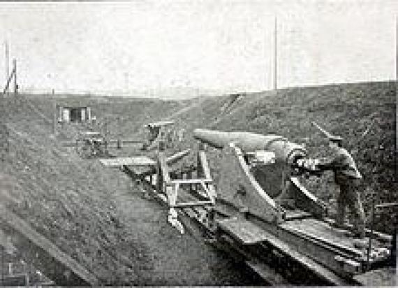
Dillingen, Alter Schießplatz mit 21cm-Geschütz zur Erprobung von Panzerplatten, um 1900
admin
Breite
220
Höhe
159
Mimetype
image/jpeg
Eine detaillierte Darstellung der Bunkerstandorte findet sich in den Geschichtskarten[118].
![Eine detaillierte Darstellung der Bunkerstandorte findet sich in den Geschichtskarten[118]. A detailed depiction of the bunker locations can be found in the history maps [118].](/sites/default/files/styles/jp_gallery_style/public/550px-Bunkerpositionen_Dillingen_Geschichtskarte.png?itok=gZawK2ro)
admin
Breite
550
Höhe
285
Mimetype
image/png
Stadtflagge Dillingen/Saar, Stadtfarben rot-gold, Wappen: Auf blauem Grund eine silberne, gezinnte und gefugte Mauer, darüber ein silberner, goldgekrönter und goldbewehrter Adler mit ausgebreiteten Flügeln und roter Zunge aus dem Wappen Lothringens. In
Aufnahmedatum
2015-08-02 12:14:04
Fotografiert von
Oktobersonne
Import
Bildquelle (Woher stammt das Bild)
Eigenes Werk
Breite
1662
Höhe
1960
Lizenzhinweise
Creative Commons Attribution-Share Alike 4.0
Lizenz
CC BY-SA 4.0
Beschreibung
City flag Dillingen / Saar; coat of arms colors red-gold,
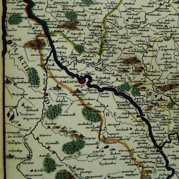
Dillingen auf einer historischen Karte der Saar von 1705, Nicolas de Fer (Hrsg. und Verleger), P. Starck (Stecher): Le Cours de la Sare aux Environs de la quelle se Trouve (sic!) Diverses Provinces qui Composent la Province de la Sare ou Lorraine
Aufnahmedatum
2016-09-02 16:48:15
Fotografiert von
Oktobersonne
Import
Bildquelle (Woher stammt das Bild)
Eigenes Werk
Breite
2048
Höhe
2048
Lizenzhinweise
Creative Commons Attribution-Share Alike 4.0
Lizenz
CC BY-SA 4.0
Beschreibung
Historical map of the Saar from 1705, Nicolas de Fer (ed. and publisher), P. Starck (engraver): Le Cours de la Sare aux Environs de la quelle se Trouve Diverse Provinces qui Composent la Provine de la Sare ou Lorraine Allemande (sic!), ca. 1: 380,000, 23.8 cm x 33.7 cm, Stadtarchiv Saarlouis
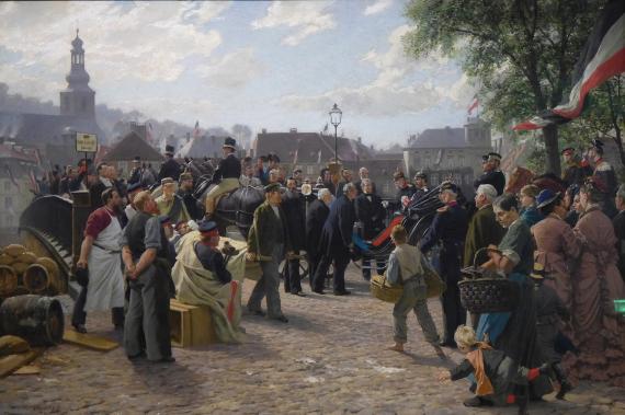
Anton von Werner, Farbskizze zum Saarbrücker Rathauszyklus „Ankunft König Wilhelms I. in Saarbrücken am 9. August 1870“, Saarbrücken und St. Johann waren zu Beginn des Deutsch-Französischen Krieges von den Franzosen besetzt worden. Drei Tage nach
Aufnahmedatum
2018-08-03 17:10:52
Fotografiert von
Sol Octobris
Import
Bildquelle (Woher stammt das Bild)
Eigenes Werk
Breite
2048
Höhe
1362
Lizenzhinweise
Creative Commons Attribution-Share Alike 4.0
Lizenz
CC BY-SA 4.0
Beschreibung
Anton von Werner, color sketch for the Saarbrücken town hall cycle "Arrival of King Wilhelm I in Saarbrücken on August 9, 1870",
Saarbrücken had been occupied by the French at the beginning of the Franco-Prussian War. Three days after the storming of the Spicher Heights, the Prussian king entered Saarbrücken victorious. (German Historical Museum, Zeughaus, Berlin)
Saarbrücken had been occupied by the French at the beginning of the Franco-Prussian War. Three days after the storming of the Spicher Heights, the Prussian king entered Saarbrücken victorious. (German Historical Museum, Zeughaus, Berlin)
DH um 1900

Aufnahmedatum
Unbekanntes Datum
Fotografiert von
Ecker & Pflug Kunstanstalt Leipzig
Import
Breite
2048
Höhe
557
Lizenzhinweise
Public domain
Lizenz
Public domain
Beschreibung
Dillinger Hütte around 1900, with the hospital and management building (on the left-hand side of the picture) and the old and new castle (bottom left) still standing today alongside a number of factory buildings.
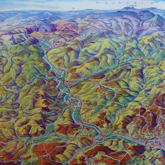
Dillingen auf der Panoramakarte „Die Deutsche Saar“ zur Saarabstimmung 1935, ca. 1934, hrsg. vom Rheinischen Verkehrsverein e. V. Bad Godesberg und vom Pfälzischen Verkehrsverein e. V. Ludwigshafen, ca. 1 . 100.000, 72 cm × 46 cm, Stadtarchiv
Aufnahmedatum
2016-09-02 17:11:36
Fotografiert von
Oktobersonne
Import
Bildquelle (Woher stammt das Bild)
Eigenes Werk
Breite
2048
Höhe
2048
Lizenzhinweise
Creative Commons Attribution-Share Alike 4.0
Lizenz
CC BY-SA 4.0
Beschreibung
Panoramic map "Die Deutsche Saar", ca. 1934, published by Rheinischer Verkehrsverein e. V. Bad Godesberg and Pfälzischer Verkehrsverein e. V. Ludwigshafen, Verlagsanstalt M. Wittkop GmbH Munich, ca. 1 . 100,000, 72 cm x 46 cm, Stadtarchiv Saarlouis
Partner Link
Redaktionell überprüft
Aus
Partner Term
Add new comment