Complete profile
90
Kategorie
Adresse
Wiklohstraße
Niedersachsen
31535 Neustadt am Rübenberge - OT Mandelsloh
Germany
Früherer Straßenname
52.608345, 9.536778
Koordinate
52.608312901315, 9.536573461184
The Mandesloh Jewish cemetery was laid out between 1825 and 1831. The last gravestones were probably removed in 1940.
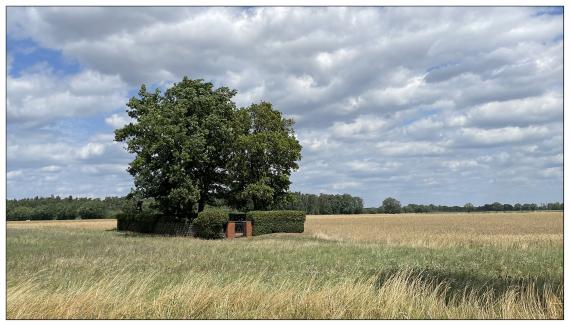
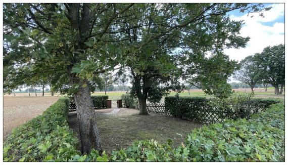
The enclosure of the small cemetery area consists of a Jägerzau and a field maple hedge.
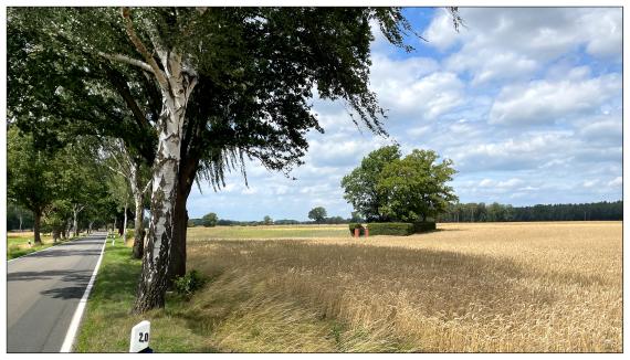
The cemetery is located on Wiklohstraße between Mandelsloh and Lutter in the Feldmark (geolocation: 52.608345, 9.536778).
Ereignisse
Beschreibung
between 1825 and 1831
Ereignis
Datum Von
1825-01-01
Datum bis
1825-12-31
Datierung
1825
Epoche universalgeschichtlich
Medien
Jüdischer Friedhof Mandelsloh

Aufnahmedatum
16.07.2023
Fotografiert von
J. Gronen
Joachim Gronen
Bildquelle (Woher stammt das Bild)
Private Aufnahme
Breite
3000
Höhe
1717
Lizenz
CC BY-SA 4.0
Jüdischer Friedhof Mandelsloh

Aufnahmedatum
16.07.2023
Fotografiert von
J. Gronen
Joachim Gronen
Bildquelle (Woher stammt das Bild)
Private Aufnahme
Breite
3000
Höhe
1717
Lizenz
CC BY-SA 4.0
Jüdischer Friedhof Mandelsloh

Aufnahmedatum
16.07.2023
Fotografiert von
J. Gronen
Joachim Gronen
Bildquelle (Woher stammt das Bild)
Private Aufnahme
Breite
3000
Höhe
1717
Lizenz
CC BY-SA 4.0
Beschreibung
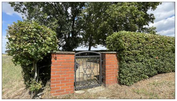
Entrance gate
Jüdische Friedhof Mandesloh

Aufnahmedatum
16.07.2023
Fotografiert von
J. Gronen
Joachim Gronen
Bildquelle (Woher stammt das Bild)
Private Aufnahme
Breite
3000
Höhe
1717
Lizenz
CC BY-SA 4.0
Weiterführender Link
Redaktionell überprüft
Aus
Leichte Sprache
Aus
Add new comment