Complete profile
80
Kategorie
Adresse
Ernst-Geißendörfer-Straße
91541 Rothenburg
Germany
Koordinate
49.38433, 10.18666
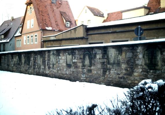
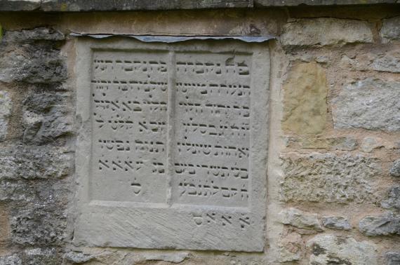
The medieval cemetery was located outside the first city wall in the north of the old town. After the expulsion of the Jewish community in 1520, the gravestones were destroyed or used as building material. Only a few stones have survived.The cemetery on Wiesenstraße was established in 1890.
Medien
Rothenburg Jüdischer Friedhof HdBG(Daxelmüller

Fotografiert von
Christoph Daxelmüller, Würzburg
admin
Breite
800
Höhe
560
Lizenz
cc by-sa 4.0
Beschreibung
Rothenburg ob der Tauber, medieval Jewish gravestones embedded in the wall, 1979.
Partner
Haus der Bayrischen Geschichte
Rothenburg Gemeinde Wiki

Fotografiert von
Wikimedia Commons / Tilman2007
admin
Breite
4928
Höhe
3264
Lizenz
cc by-sa 4.0
Beschreibung
Judengasse 32, on the inside of the northern wall ten Jewish gravestones, 13th/14th century, moved here from the Reichsstadtmuseum in 1966.
Partner
Haus der Bayrischen Geschichte
Redaktionell überprüft
Aus
Leichte Sprache
Aus
Partner Term
Add new comment