Complete profile
100
Kategorie
Adresse
Arloffer Straße
53881 Euskirchen
Germany
Koordinate
50.616448357375, 6.8359802895286
Flamersheim is a small village, which today belongs to Euskirchen. Jews settled here in the middle of the 16th century. The communities of Kirchheim and Flamersheim, at least during the Jewish settlement, almost formed a single unit. From 1874 Flamersheim had a synagogue, which was also attended by the Kirchheim Jews. The synagogue was destroyed in 1938 and demolished a little later. A Torah scroll could be saved.
The cemetery of Flamersheim was inaugurated in the middle of the 18th century. It is located close to the cemetery of Kirchheim. The place was geschändet several times and only after the war after long disputes restored.
.Ereignisse
Ereignis
Datum Von
1851-01-01
Datum bis
1851-01-01
Datierung
nach 1850
Epoche universalgeschichtlich
Medien
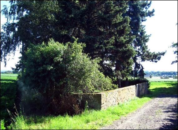
Der Eingangsbereich

Aufnahmedatum
2018
Fotografiert von
Franz-Josef Knöchel, LVR, CC Wikipedia
wheumann
Bildquelle (Woher stammt das Bild)
Eigenes Bild
Breite
842
Höhe
619
Lizenz
CC BY-SA 4.0
Beschreibung
The entrance area
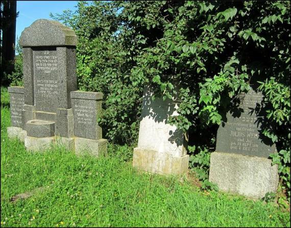
Einzelne Grabsteine

Aufnahmedatum
2018
Fotografiert von
Franz-Josef Knöchel, LVR, CC Wikipedia
wheumann
Bildquelle (Woher stammt das Bild)
Eigenes Bild
Breite
829
Höhe
650
Lizenz
CC BY-SA 4.0
Beschreibung
Individual tombstones
Weiterführender Link
Literatur
Elfi Pracht-Jörns, Jüdisches Kulturerbe NRW, Bachem, Köln, 2001
http://www.jüdische-gemeinden.de/index.php/gemeinden/e-g/616-flamersheim-nordrhein-westfalen
https://de.wikipedia.org/wiki/J%C3%BCdischer_Friedhof_(Flamersheim)Elfi Pracht-Jörns, Jüdisches Kulturerbe NRW, Bachem, Köln, 2001
Redaktionell überprüft
Aus
Partner Term
Add new comment