Complete profile
100
Kategorie
Adresse
Lingener Strasse 53
48429 Rheine
Germany
Koordinate
52.283890270741, 7.4400515398431
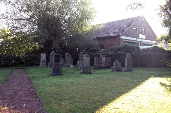
The cemetery was established in 1826, on a site that had long been used as a place of execution.
The oldest surviving gravestone dates from 1853.An expansion of the der burial ground took place in 1891.... The last burial took place 1929. In 1936 and 1937 the cemetery was desecrated by National Socialist vandalism.
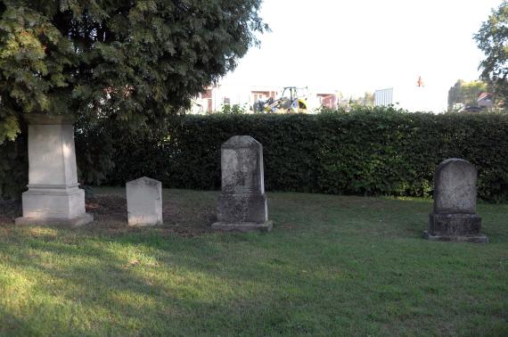
In the mid-1950s, the Jewish cemetery was repaired, and some gravestones were also restored. Today there are 26 tombstones on the burial ground, it is assumed that about 37 tombstones are missing
.Ereignisse
Beschreibung
On the site of a former execution site
Ereignis
Datum Von
1826-01-01
Datum bis
1826-12-31
Datierung
1826
Epoche universalgeschichtlich
Medien
Auf dem Friedhof in Drensteinfurt

Aufnahmedatum
2020
Fotografiert von
Christian Damhus
wheumann
Bildquelle (Woher stammt das Bild)
Eigenes Bild
Breite
4928
Höhe
3264
Lizenz
CC BY-SA 4.0
Beschreibung
Scene on the Friiedhof
Mimetype
image/jpeg
Auf dem Friedhof in Drensteinfurt

Aufnahmedatum
2020
Fotografiert von
Christian Damhus
wheumann
Bildquelle (Woher stammt das Bild)
Eigenes Bild
Breite
4928
Höhe
3264
Lizenz
CC BY-SA 4.0
Beschreibung
At the cemetery in Drensteinfurt
Mimetype
image/jpeg
Weiterführender Link
Literatur
https://juedische-gemeinden-22b.de/index.php/gemeinden/c-d/160-drensteinfurt-nordrhein-westfalen
Werner Bockholt, Der jüdische Friedhof in Drensteinfurt - Eine Bestandsaufnahme, in: "Veröffentlichungen des Drensteinfurter Stadtarchivs",
Redaktionell überprüft
Aus
Partner Term
Add new comment