Complete profile
100
Kategorie
Adresse
Holzurburger Straße
27624 Steinau
Germany
Koordinate
53.640391829305, 8.8483913992187
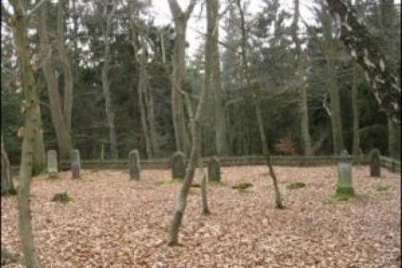
The cemetery was used (according to Wikipedia) from 1754 nis 1902 and has - after extensions in the 19th century - an area of 602 m2.
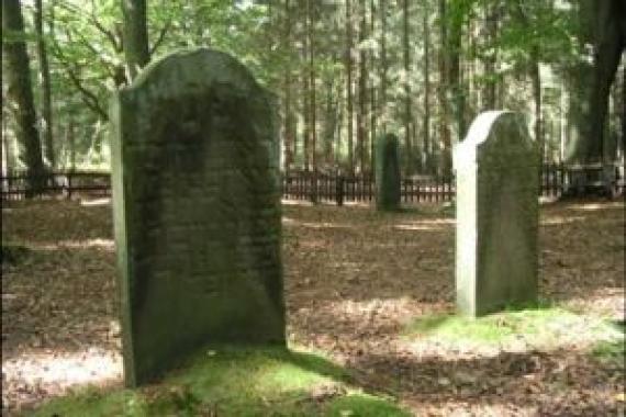
.Eight gravestones from the period between about 1820 and 1870, mossy mounds indicate another about 21 graves. The preserved grave signs are artistically as well as from the material quality above average.
Apparently the cemetery was vandalized some years ago: 3 of the 8 stelae show traces of professional repair.
Small stones on some gravestones testify that these graves are visited.
Ereignisse
Ereignis
Datum Von
1754-01-01
Datum bis
1754-12-31
Datierung
1754
Epoche universalgeschichtlich
Medien
Auf dem Friedhof in Bederkesa

Aufnahmedatum
2007
Fotografiert von
Dr. Hans-Peter Laqueur
wheumann
Bildquelle (Woher stammt das Bild)
Eigenes Foto
Breite
300
Höhe
200
Lizenz
CC BY-SA 4.0
Beschreibung
Individual tombstones in the cemetery
Mimetype
image/jpeg
Überblick über den Friedhof

Aufnahmedatum
2007
Fotografiert von
Dr. Hans-Peter Laqueur
wheumann
Bildquelle (Woher stammt das Bild)
Eigenes Foto
Breite
300
Höhe
200
Lizenz
CC BY-SA 4.0
Beschreibung
Overview of the cemetery
Mimetype
image/jpeg
Weiterführender Link
Literatur
Bohmbach, Jürgen, "Bederkesa", Aus: Historisches Handbuch der jüdischen Gemeinden in Niedersachsen und Bremen, 2005, S184-187
https://de.wikipedia.org/wiki/J%C3%BCdischer_Friedhof_(Bederkesa)
Redaktionell überprüft
Aus
Partner Term
Add new comment