Complete profile
80
Kategorie
Adresse
Indira-Gandhi-Straße
13088 Weißensee
Germany
Koordinate
52.5500499, 13.4668312
Weißensee is a district in the Pankow district of Berlin, originating from a street village east of the Weißen See founded in the 13th century, which was a knight's estate from 1540 to 1880. From the incorporation to Greater Berlin in 1920 until the administrative reform in 2001, there was an independent district of Weißensee, into which various neighboring villages were incorporated.
Medien
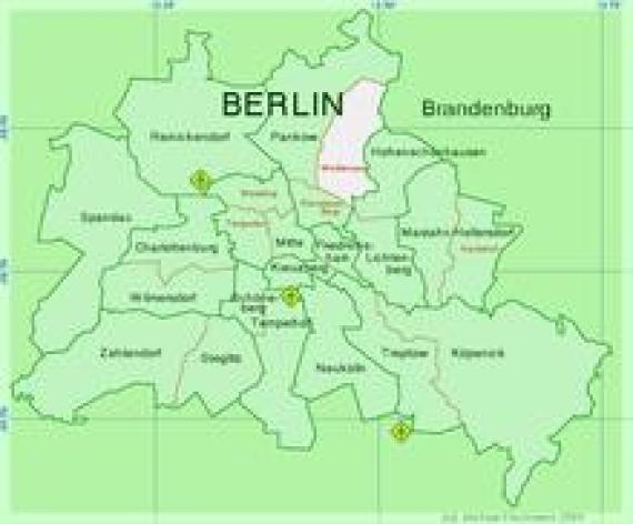
Ehemaliger Bezirk Berlin-Weißensee
admin
Breite
220
Höhe
182
Mimetype
image/png
Wappen des Bezirks Weißensee (1992–2001)

admin
Breite
130
Höhe
189
Mimetype
image/png
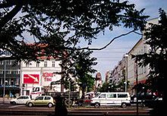
Das am Antonplatz verbliebene Kino Toni und Verkehr auf der Berliner Allee in Richtung Berlin-Mitte, 2005
admin
Breite
220
Höhe
153
Mimetype
image/jpeg
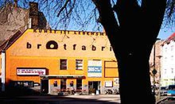
Brotfabrik an der Weißenseer Spitze (Caligariplatz), 2009
admin
Breite
220
Höhe
131
Mimetype
image/jpeg
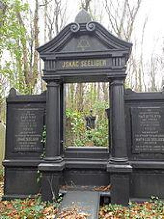
Grabmal im abgelegenen Bereich des Jüdischen Friedhofs
admin
Breite
170
Höhe
227
Mimetype
image/jpeg
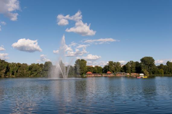
Weißer See
Aufnahmedatum
2023-05-14 10:34:07
Fotografiert von
Nikey
Import
Bildquelle (Woher stammt das Bild)
Eigenes Werk
Breite
902
Höhe
600
Lizenzhinweise
Creative Commons Attribution-Share Alike 4.0
Lizenz
CC BY-SA 4.0
Beschreibung
New see
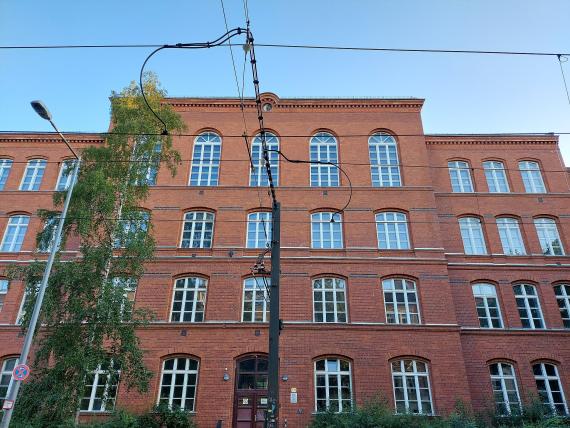
Altbau der Heinz-Brandt-Schule von 1890
Aufnahmedatum
2021-07-28 19:54:35
Fotografiert von
MaJaJuPa
Import
Bildquelle (Woher stammt das Bild)
Eigenes Werk
Breite
2048
Höhe
1536
Lizenzhinweise
Creative Commons Attribution-Share Alike 4.0
Lizenz
CC BY-SA 4.0
Beschreibung
View of the old building of the Heinz-Brandt-Schule from Langhansstraße
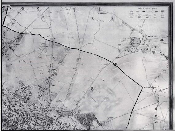
Weißer See vor der damaligen Stadtgrenze auf einem Plan von 1866
Aufnahmedatum
etwa 1866date QS:P,+1866-00-00T00:00:00Z/9,P1480,Q5727902
Fotografiert von
unknown, scanned by APPER
Import
Bildquelle (Woher stammt das Bild)
„Situationsplan von Berlin mit dem Weichbilde und Charlottenburg“
Breite
1488
Höhe
1111
Lizenzhinweise
Public domain
Lizenz
Public domain
Beschreibung
Weichbild Berlin in the northeast (thick lines correspond to borders)
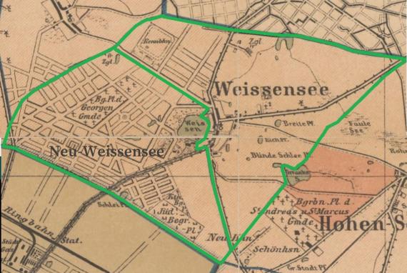
Plan der Gemeinden Weißensee und Neu-Weißensee von 1880 bis 1905
Aufnahmedatum
1893-01-01
Fotografiert von
Julius Straube
Import
Bildquelle (Woher stammt das Bild)
https://digital.zlb.de/viewer/resolver?urn=urn:nbn:de:kobv:109-1-15485703
Straube, Julius. Bebauungsplan Für Die Vororte Von Berlin. Jul. Straube, 1893.
Digitalisat bei der Digitalen Landesbibliothek Berlin (digital.zlb.de)
Straube, Julius. Bebauungsplan Für Die Vororte Von Berlin. Jul. Straube, 1893.
Digitalisat bei der Digitalen Landesbibliothek Berlin (digital.zlb.de)
Breite
1057
Höhe
709
Lizenzhinweise
Public domain
Lizenz
Public domain
Beschreibung
The boundaries of the municipalities of Weißensee and Neu-Weißensee from 1880 to 1904
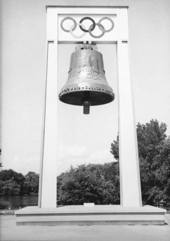
Olympia-Glocke in Weißensee, Olympische Sommerspiele 1936
Aufnahmedatum
1936date QS:P571,+1936-00-00T00:00:00Z/9
Fotografiert von
Autor/-in unbekanntUnknown author
Import
Bildquelle (Woher stammt das Bild)
Bundesarchiv, B 145 Bild-P019192 / CC-BY-SA 3.0
Breite
563
Höhe
800
Lizenzhinweise
Creative Commons Attribution-Share Alike 3.0 de
Lizenz
CC BY-SA 3.0 de
Beschreibung
The following is the original historical description, which the Federal Archives have adopted for documentary reasons. However, it may be incorrect, tendentious, outdated or politically extreme. Berlin - 1936 Olympics
Olympic bell in Weissensee
Partner Link
Redaktionell überprüft
Aus
Partner Term
Add new comment