Complete profile
60
Kategorie
Adresse
Kirchplatz
48317 Drensteinfurt
Germany
Koordinate
51.79771055, 7.7426864482365
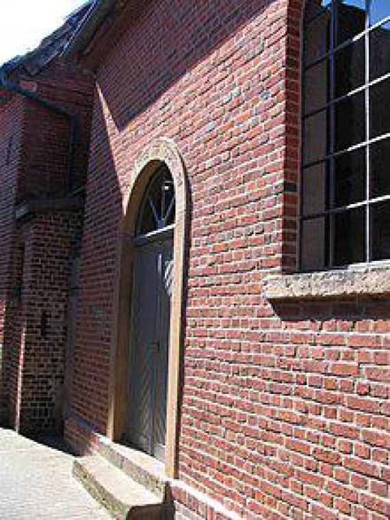
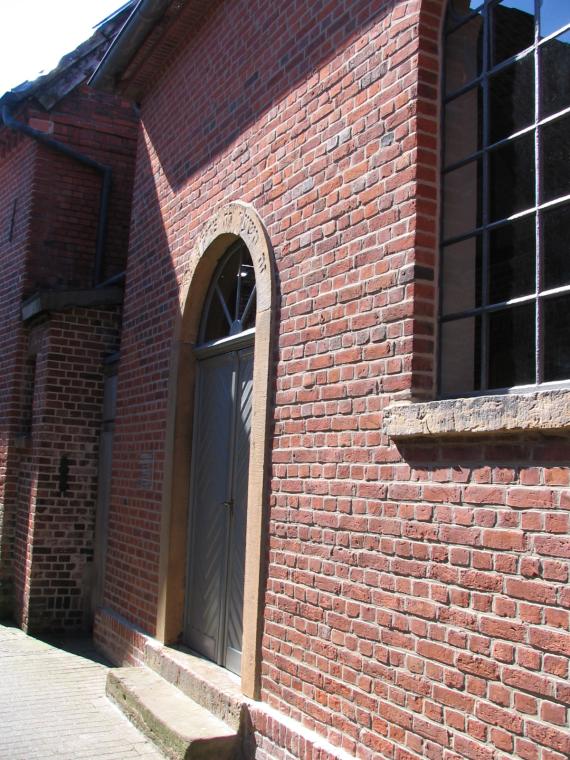
The Jewish community of Drensteinfurt existed between 1811 and 1939. The synagogue is one of the few remaining Jewish houses of worship in the Münsterland.
Medien
Die Synagoge von Drensteinfurt. Über dem Eingang ist die hebräische Inschrift zu erkennen.
admin
Breite
220
Höhe
293
Mimetype
image/jpeg
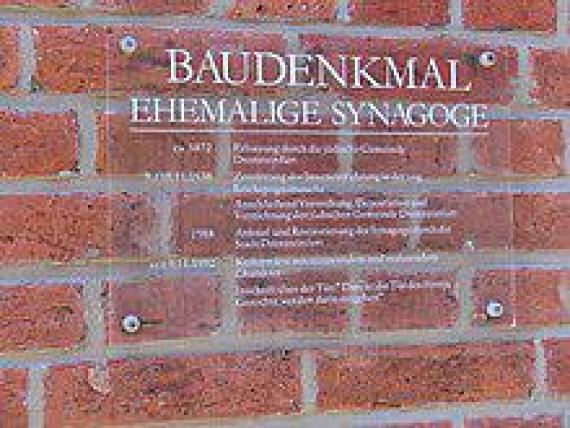
Informationstafel an der Synagoge.
admin
Breite
220
Höhe
165
Mimetype
image/jpeg
Die Synagoge von Drensteinfurt. Über dem Eingang ist die hebräische Inschrift zu erkennen.
Aufnahmedatum
11.05.08
Fotografiert von
Suedwester93 11:02, 12. Mai 2008 (CEST)
Import
Bildquelle (Woher stammt das Bild)
selbst fotografiert
Breite
1200
Höhe
1600
Beschreibung
The former synagogue of Drensteinfurt.
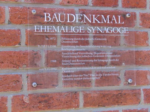
Informationstafel an der Synagoge.
Aufnahmedatum
11.05.08
Fotografiert von
Suedwester93 11:04, 12. Mai 2008 (CEST)
Import
Bildquelle (Woher stammt das Bild)
selbst fotografiert
Breite
1600
Höhe
1200
Beschreibung
Information board at the former synagogue in Drensteinfurt.
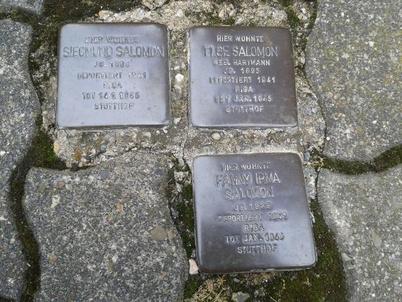
Drei der Stolpersteine am Südwall
Aufnahmedatum
2015-06-24 10:41:34
Fotografiert von
Tomtom10
Import
Bildquelle (Woher stammt das Bild)
Eigenes Werk
Breite
2048
Höhe
1536
Lizenzhinweise
Creative Commons Attribution-Share Alike 4.0
Lizenz
CC BY-SA 4.0
Beschreibung
Stumbling Stones Drensteinfurt Südwall 5
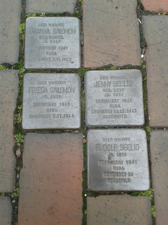
Stolpersteine an der Hammer Straße
Aufnahmedatum
2015-06-24 10:44:06
Fotografiert von
Tomtom10
Import
Bildquelle (Woher stammt das Bild)
Eigenes Werk
Breite
1920
Höhe
2560
Lizenzhinweise
Creative Commons Attribution-Share Alike 4.0
Lizenz
CC BY-SA 4.0
Beschreibung
Stumbling Stones Drensteinfurt Hammer Straße
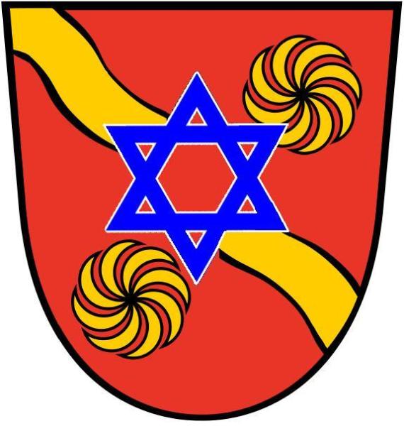
Judentum Kreis Warendorf
Aufnahmedatum
2008-05-10
Fotografiert von
Suedwester93 in der Wikipedia auf Deutsch
Import
Bildquelle (Woher stammt das Bild)
selbst erstellt
Breite
575
Höhe
605
Lizenzhinweise
Public domain
Lizenz
Public domain
Beschreibung
Coat of arms of the district of Warendorf with the Star of David.
Partner Link
Redaktionell überprüft
Aus
Partner Term
Add new comment