L 493
76761 Rülzheim
Germany
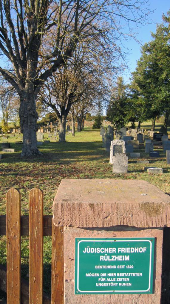
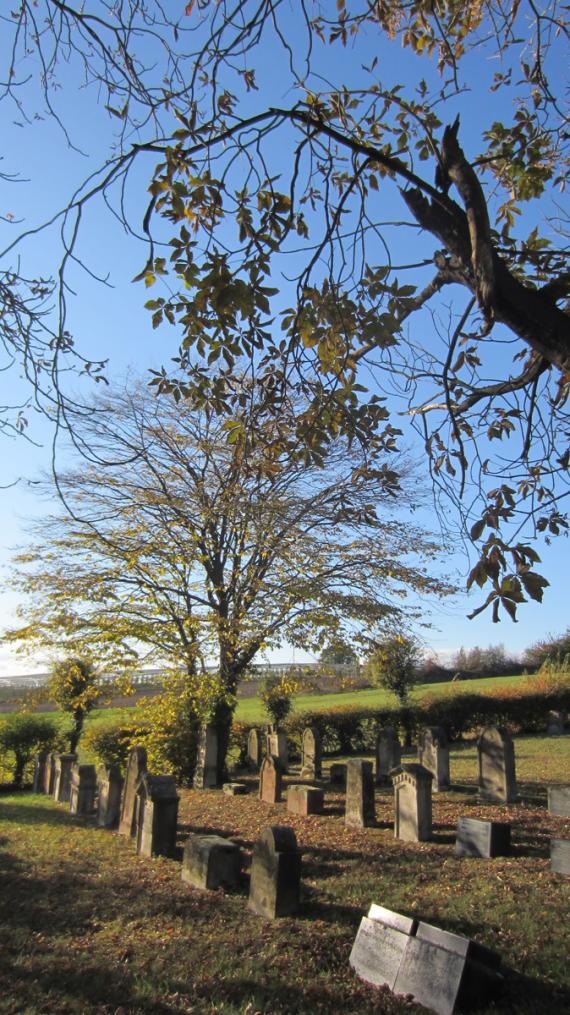
Until the beginning of the 19th century the dead of the Jewish community were buried in Essingen and Ingenheim. The Jewish cemetery between Rülzheim and Herxheimweyher was established in 1826. The government of the Palatinate approved the construction in September 1821. The cemetery was intended as an association cemetery for the Jewish communities (or families) in Germersheim, Bellheim, Kuhardt, Leimersheim, Hagenbach and Rülzheim . In 1826, a suitable plot of land was found for 20 gulden, covering a total of 48.80 ares. In 1903 the gravestones have been documented (numbers on the gravestones).
The cemetery was desecrated already in May 1927. In connection with the pogrom night in November 1938 and afterwards the cemetery was destroyed and devastated. A third of all graves were destroyed, numerous gravestones were dragged away, thrown into the nearby Altbach and on the surrounding fields as well as used for road construction. After 1945 the cemetery was restored - as far as possible. Today the cemetery belongs to the Jewish religious community of the Rhine Palatinate.

Add new comment