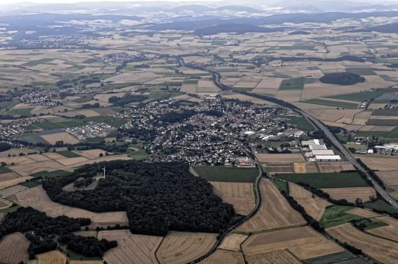
Gudensberg is located at the extreme southeastern tip of the Habichtswald Nature Park about 20 km south of Kassel and ten kilometers northeast of Fritzlar (distances in each case as the crow flies). While the core city and the district Maden are flowed through by the Ems tributary Goldbach, the southwestern district Dorla and the southern district Obervorschütz are located on the Eder tributary Ems.
The municipal area is bordered to the north and northeast by the municipality of Edermünde, and to the east by districts of Felsberg, which are located in the area of the lower reaches of the Eder. To the south and southeast of the Ems lower reaches are other parts of Felsberg. To the south, southwest and west lie districts of Fritzlar. In the northwest, the district of Gleichen abuts Niedenstein; in this direction, behind the Odenberg, the Langenberge rise, which belong to the Habichtswald Nature Park. At the northern edge of the Langenberge there is also a common border with the municipality of Schauenburg.


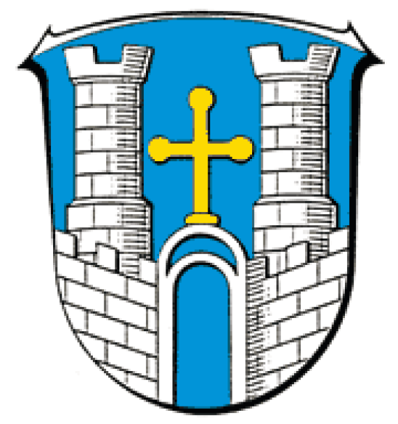
Zu beachten: Wappen sind allgemein unabhängig von ihrem urheberrechtlichen Status in ihrer Nutzung gesetzlich beschränkt. Ihre Verwendung unterliegt dem Namensrecht (§ 12 BGB), und den öffentlichen Körperschaften dienen sie darüber hinaus als Hoheitszeichen. Weitere Informationen dazu gibt es unter Wikipedia:Wappen, Amtliches Wappen und Wappensatzung.

Zu beachten: Wappen sind allgemein unabhängig von ihrem urheberrechtlichen Status in ihrer Nutzung gesetzlich beschränkt. Ihre Verwendung unterliegt dem Namensrecht (§ 12 BGB), und den öffentlichen Körperschaften dienen sie darüber hinaus als Hoheitszeichen. Weitere Informationen dazu gibt es unter Wikipedia:Wappen, Amtliches Wappen und Wappensatzung.
Add new comment