Complete profile
60
Koordinate
48.7384833, 9.3006344
Bundesland
Baden-Württemberg
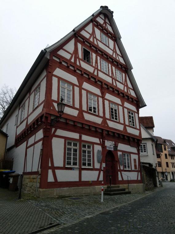
Die ehemalige Synagoge in der Esslinger Altstadt.

Aufnahmedatum
31.01.2021
Fotografiert von
Landauf LandApp
Eva Leo
Bildquelle (Woher stammt das Bild)
Landeskundeapp Landauf LandApp
ggf. URL
https://www.leo-bw.de/en/web/guest/detail/-/Detail/details/DOKUMENT/LandApp/329131/Zunfthaus+der+Schneider-Synagoge
Breite
960
Höhe
1280
Lizenz
CC0
Beschreibung
The former synagogue in Esslingen's old town. The interior fell victim to destruction during the pogroms in November 1938. The Hitler Youth then moved into the building. The building has been used as a synagogue again since 2012. (13.02.2024)
Partner Link
Redaktionell überprüft
Aus
Partner Term
Add new comment