Complete profile
50
Kategorie
Adresse
Römerstraße 117
50389 Wesseling
Germany
Früherer Straßenname
Roemerstr. 115?
Koordinate
50.828161904637, 6.9765134499555
Medien
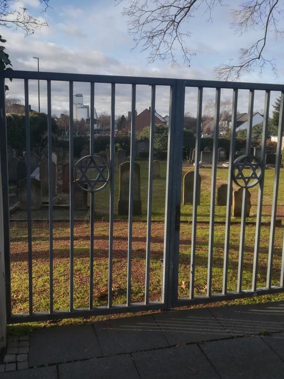
Friedhofstor an der Römerstraße

Aufnahmedatum
26.12.2020
Fotografiert von
Gregory Wolf
Govrim
Bildquelle (Woher stammt das Bild)
Eigene Aufnahmen
Breite
2976
Höhe
3968
Lizenz
CC BY-SA 4.0
Beschreibung
In the center of each of the gate wings at the entrance there is a Magen David set in a circle.
On the cemetery plot, which is freely visible from there, there are numerous gravestones (about 50)
On the cemetery plot, which is freely visible from there, there are numerous gravestones (about 50)
Mimetype
image/jpeg
Redaktionell überprüft
Aus
Add new comment