Complete profile
50
Kategorie
Adresse
Palachovo náměstí
779 00 Ölmütz - Olomouc
Czechia
Früherer Straßenname
Maria Theresien Platz
Koordinate
49.5912144, 17.250318
Medien
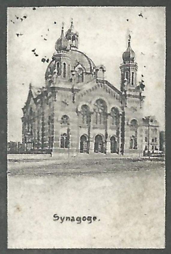
Historische Mehrbild-Ansichtskarte von Ölmütz aus der Zeit um 1900 - 1905 mit einem Photo der Synagoge

Aufnahmedatum
ca. 1900 - 1905
Fotografiert von
Peter Karl Müller, Kirchheim am Ries
PKM
Bildquelle (Woher stammt das Bild)
Private Sammlung
Breite
423
Höhe
627
Lizenz
CC BY-SA 4.0
Beschreibung
Historical multi-view map of Ölmütz from the period around 1900 - 1905 with a photo of the synagogue - cutout enlargement synagogue
Mimetype
image/jpeg
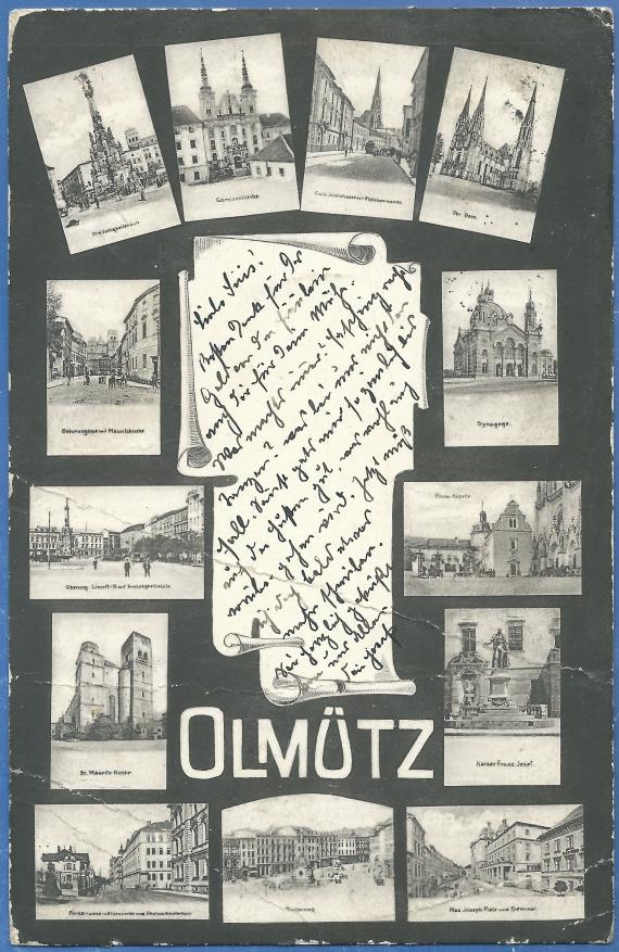
Historische Mehrbild-Ansichtskarte von Ölmütz mit einem Photo der Synagoge

Aufnahmedatum
ca. 1900 - 1905
Fotografiert von
Peter Karl Müller, Kirchheim am Ries
PKM
Bildquelle (Woher stammt das Bild)
Private Sammlung
Breite
2111
Höhe
3247
Lizenz
CC BY-SA 4.0
Beschreibung
Historical multi-view map of Ölmütz from around 1900 - 1905 with a photo of the synagogue
Mimetype
image/jpeg
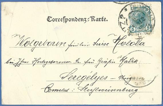
Historische Mehrbild-Ansichtskarte von Ölmütz mit einem Photo der Synagoge

Aufnahmedatum
ca. 1900 - 1905
Fotografiert von
Peter Karl Müller, Kirchheim am Ries
PKM
Bildquelle (Woher stammt das Bild)
Private Sammlung
Breite
1623
Höhe
1061
Lizenz
CC BY-SA 4.0
Beschreibung
Historical multi-view map of Ölmütz from around 1900 - 1905 with a photo of the synagogue - back of the map
Mimetype
image/jpeg
Weiterführender Link
Partner Link
Redaktionell überprüft
Aus
Partner Term
Add new comment