Aufnahmedatum
o.A.
Fotografiert von
o.A.
burukti01
Bildquelle (Woher stammt das Bild)
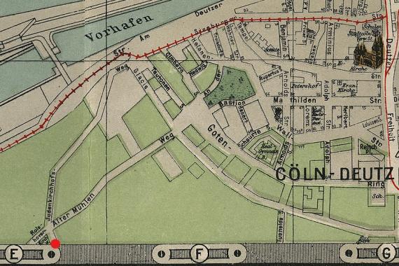
Stadtplan von Cöln - Grosse Ausgabe (Sonderverlag Pharus-Plan), Cöln / Berlin 1922.
Breite
829
Höhe
552
Lizenz
gemeinfrei
Beschreibung
City map of Cologne, 1922 (looking west). Marked is the location of the Jewish Cemetery Cologne-Deutz at the Judenkirchhofsweg.
Mimetype
image/jpeg