Aufnahmedatum
o.J
Fotografiert von
o.A.
burukti01
Bildquelle (Woher stammt das Bild)
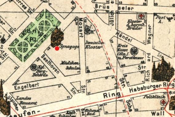
Pharus-Städte-Atlas, Ausgabe 1912/17
Breite
788
Höhe
526
Lizenz
Gemeinfrei
Beschreibung
City map of Cologne, 1912 (looking west). Marked is the synagogue Roonstraße (1899) at the former Königsplatz.
Mimetype
image/jpeg