Aufnahmedatum
o.J.
Fotografiert von
o.A
burukti01
Bildquelle (Woher stammt das Bild)
Pharus-Städte-Atlas, Ausgabe 1912/17
Breite
665
Höhe
442
Lizenz
Gemeinfrei
Beschreibung
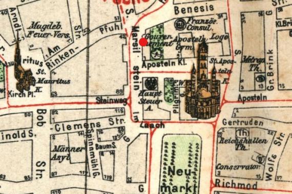
City map of Cologne, 1912 (view to the west). Marked is the location of the house Marsilstein 20 on the northern side of the street.
Mimetype
image/jpeg