Aufnahmedatum
20.10.2017
Fotografiert von
Johannes Valentin Schwarz
c.koehler
Bildquelle (Woher stammt das Bild)
Private Aufnahme
Breite
1985
Höhe
2647
Lizenz
CC BY-SA 4.0
Beschreibung
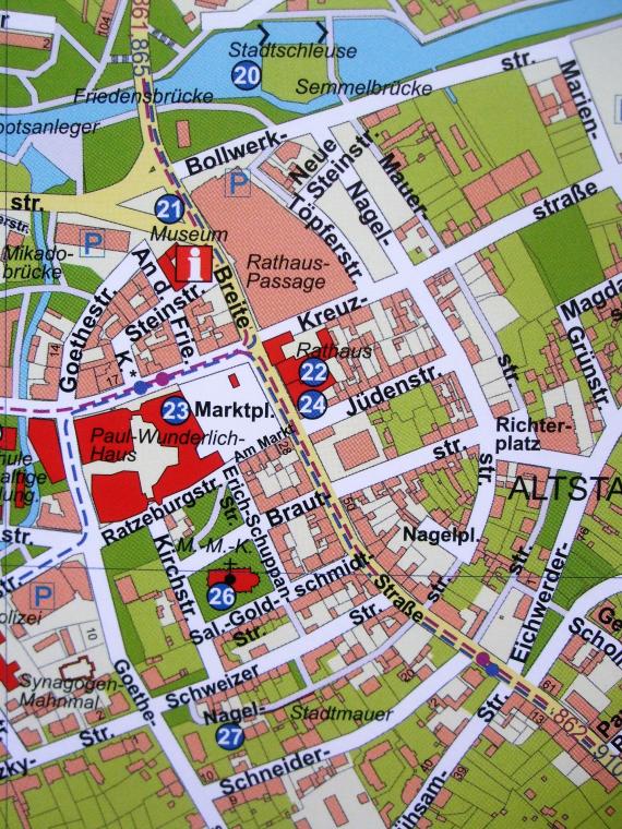
On today's city map, the medieval city center can still be clearly seen with the ring-shaped fortifications along Bollwerk, Mauer, Schneider and Goethe Streets.
Mimetype
image/jpeg